Cookie Consent by Free Privacy Policy Generator website

Cleveland Street Cycleway

Route: Cleveland Street, between Maple Street and Mortimer Street.

Westminster City Council have published their “You Said, We Did” report addressing the main points raised during the Cleveland Street Cycleway Public Consultation and outlining the Council’s response to these. To view the report, please follow this link.

Look Back at - You said, we did - Cleveland Street Cycleway Consultation (commonplace.is)

Introduction

cleveland street cycleway map

The Cleveland Street Cycleway consultation is led by Westminster City Council in partnership with Camden Council.

In December 2021, Westminster City Council’s Cabinet Member for City Management and Air Quality approved the route of the Cleveland Street Cycleway between Maple Street and Mortimer Street. This section forms part of wider proposals to provide cycleways between the West End and Pimlico.

Westminster City Council and Camden Council want to make it safer and more pleasant to cycle and walk in (and between) both boroughs. This is part of a joint strategy to promote journeys by public transport, foot and cycle, to improve air quality and for London to become a carbon neutral city.

Safe, direct and accessible walking and cycling routes in the West End are important in achieving this.

Westminster City Council originally consulted on the route in 2016 as ‘Quietway 88’. Since then, proposals have changed substantially to meet up to date cycling standards. As the proposed route runs along the borough boundary between Camden and Westminster, the proposal is presented in partnership with Camden Council. In January – March 2023 we asked for your views on the updated proposals during this initial design stage to refine and improve them further.

The Proposals

Route: Cleveland Street, between Maple Street and Mortimer Street.

The Proposals

Detailed below is a description of the proposed changes to Cleveland Street to introduce the approved cycleway. These are also shown in the route plans.

Proposals for Cleveland Street Cycleway:

  • Reduction in northbound lane width to create a contraflow cycle lane going south along Cleveland Street between Maple Street and Mortimer Street. Traffic would continue to travel northbound while the new cycle lane would be southbound. Where possible there would be a physical separation between the cycle lane and general traffic lane. This reduction in road width would have no impact on northbound vehicle movements.
  • Changes to the alignment and priority at the Cleveland Street junction with Maple Street, as well as a new zebra crossing to improve safety and comfort for those walking and cycling.
  • A new segregated link to Cycleway 27 on Clipstone Street to connect to onward westbound cycling, plus eastbound connections to the wider cycle network to enable protected cycling (physical separation between cycle lane and general traffic lane) into Camden and as far as Islington and Elephant and Castle.
  • Extended advanced stop lines for cyclists at the junction of Cleveland Street/Howland Street to help cyclists get in front of general traffic, in conjunction with early release for cyclists at the traffic lights (cyclists are proposed to get a green light 5 seconds before general traffic).
  • A new zebra crossing on Maple Street at the junction with Cleveland Street to make crossing the road safer for pedestrians.
  • Widening the existing zebra crossing at the junction of Riding House Street with parallel crossing for cyclists to improve accessibility and safely connect cyclists onto Riding House Street and to the nearby school.
  • Introduction of two-way cycling on Riding House Street and Nassau Street to create better local cycling connections through the area - being consulted on separately (via https://www.westminster.gov.uk/roads-and-travel/walking-and-cycling/two-way-cycling-connections)
  • Changes to traffic signals to allow southbound cyclists to continue on Newman Street.
  • New continuous pavement (this improves the crossing for pedestrians as per example on Horseferry Road) across the junction with Tottenham Street to slow down traffic and improve pedestrian safety.
  • Segregated cycle pocket (a safe space to wait before turning) at the junction at Maple Street and Clipstone Street to protect southbound cyclists waiting at the traffic lights.
  • Single yellow lines would be replaced by double yellow lines along Cleveland Street to provide enough road width for the contraflow cycle lane. A proposed “no loading” restriction along Cleveland Street would make cycling safer and more continuous.
Illustrative visualisation of Cleveland Street towards the junction with Maple Street

Illustrative visualisation of Cleveland Street towards the junction with Maple Street

Illustrative visualisation of Cleveland Street at the junction with Maple Street

Illustrative visualisation of Cleveland Street at the junction with Maple Street

Have your say

Westminster City Council and Camden Council held a consultation between 31st January and 3rd March 2023. We’ll use the responses to improve the proposals further before they are put before cabinet members at Westminster City Council and Camden Council. Subject to Traffic Management Order consultation and cabinet member approval, delivery of the route is hoped to start in late spring-summer 2023.

Next Steps

Next Steps

  • Review the feedback received from the Cleveland Street Cycleway questionnaire (early 2023)
  • Submit updated proposals to cabinet members at both Westminster City Council and Camden Council (early 2023)
  • Subject to approval: hold a Traffic Management Order Consultation (spring 2023)
  • Subject to cabinet members’ approval: delivery commences (late summer 2023)

faqs

Answers to the most common questions can be found below:

faqS

  • What are the benefits of the Cleveland Street Cycleway?

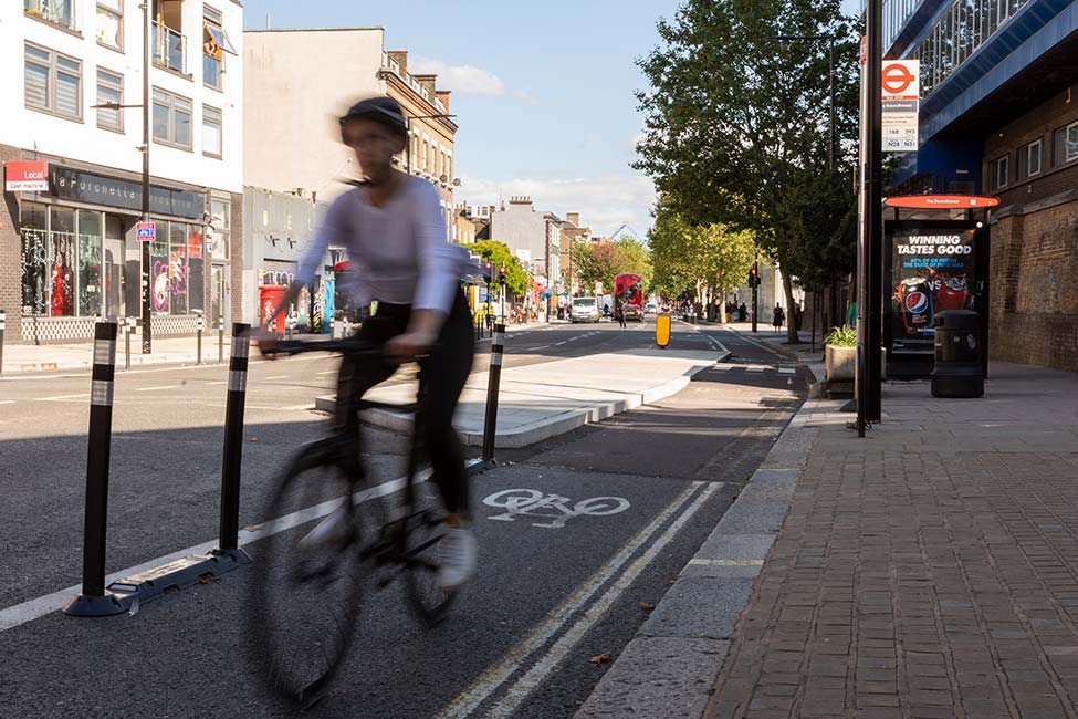
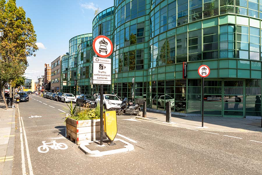
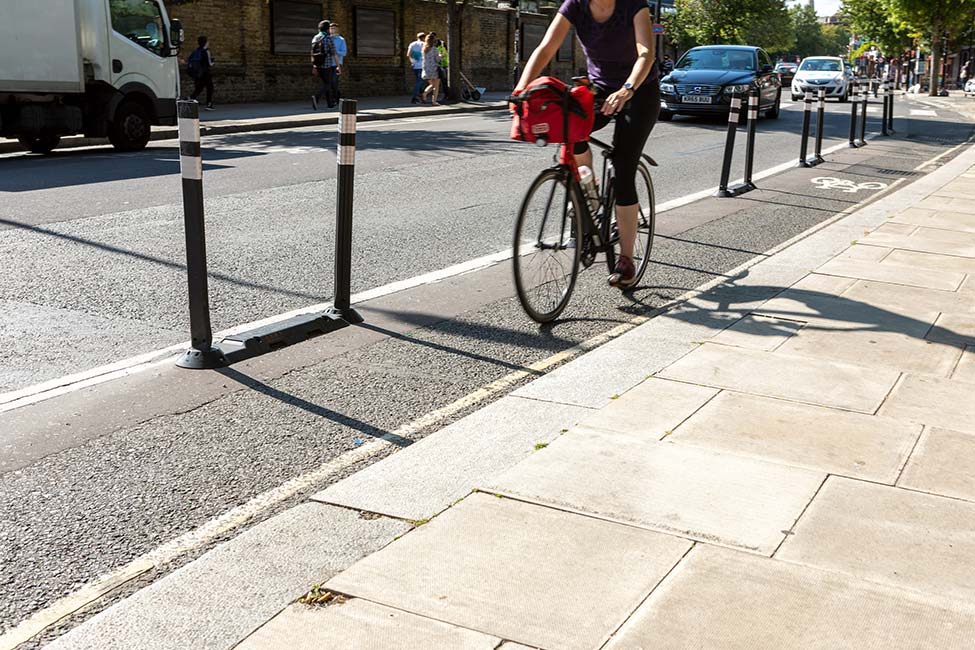
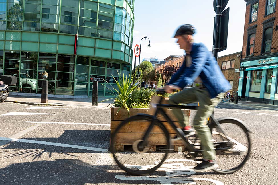
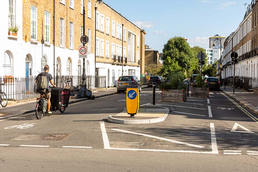
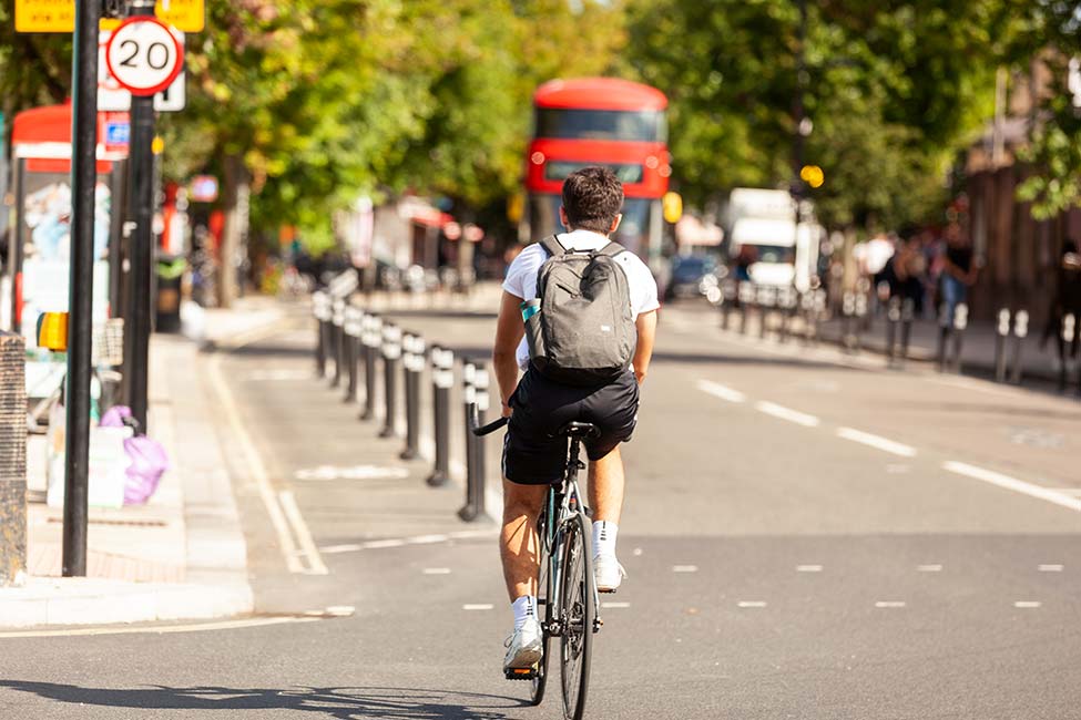
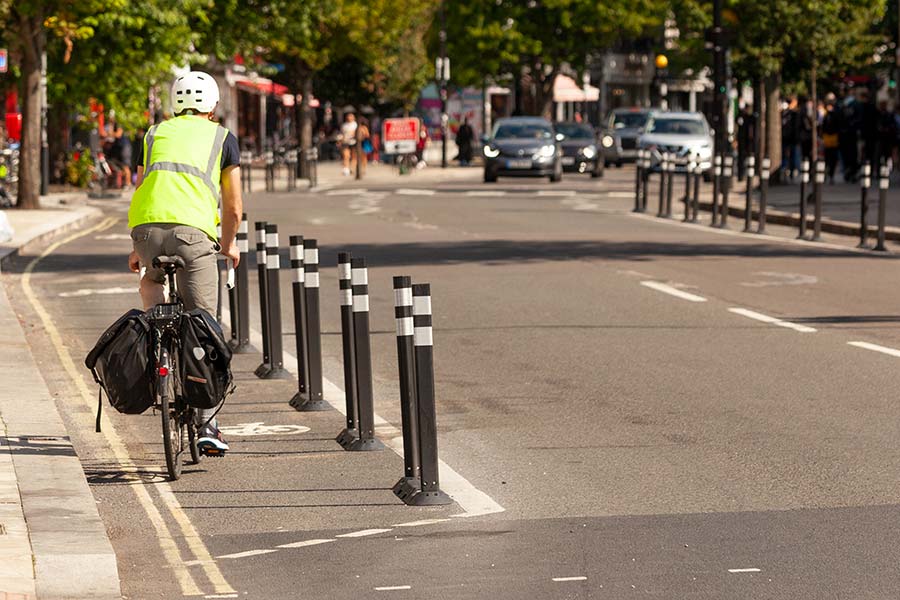
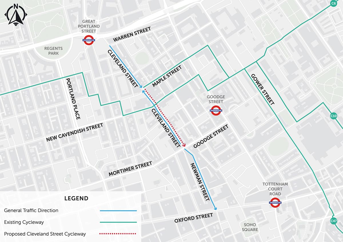
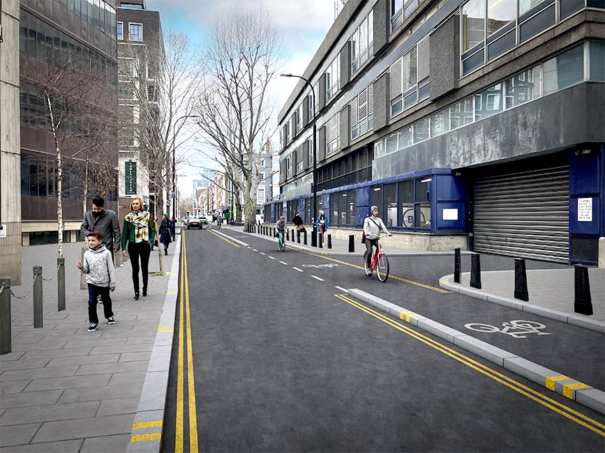
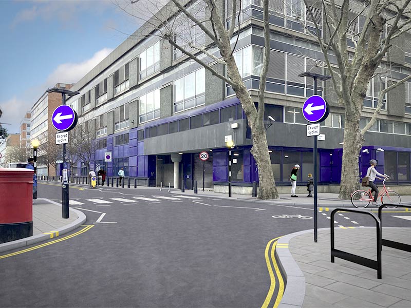
    The proposed Cleveland Street Cycleway includes advanced stop lines, contraflow cycle lanes, and changes to traffic signals. Currently, cyclists travelling south from Warren Street and Oxford Street cannot continue towards Oxford Street because of the one-way northbound section.

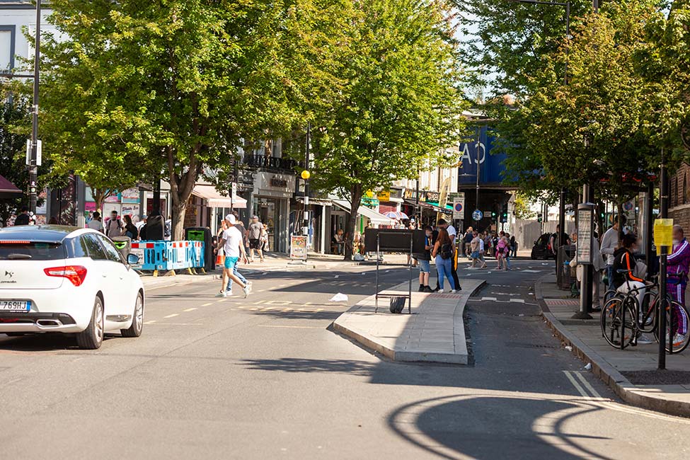
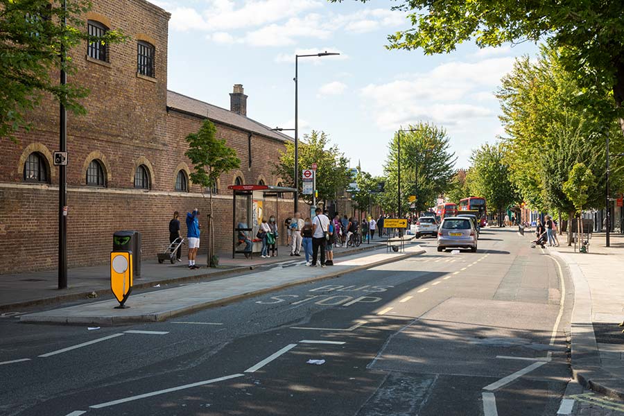
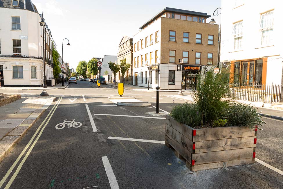
    The proposals will make this movement easier to cycle the length of the route. We would also be providing improved pedestrian crossing facilities and additional cycle parking facilities.

  • How will parking be impacted?

    Single yellow lines will be replaced by double yellow lines along Cleveland Street (currently there is an allowance for night-time and weekend parking along the kerb. This will become restricted as per double yellow line restrictions - you can't park on double yellow lines at any time). We are proposing to re-locate one disabled parking bay from Cleveland Street to Tottenham Street.

  • What will the impact on loading be?

    “No loading” restrictions will be put in place along Cleveland Street to make cycling safer and more continuous.

    The route plan shows approximately 115m of single yellow lines which are proposed to be converted to double yellow lines. You can't park on double yellow lines at any time.

    The route plan also shows proposed changes to loading where 205m of no kerb marks would be replaced with double kerb marks. Double yellow kerb marks mean no stopping at any time.

    More information on what road markings mean can be found here.

  • Will there be any road closures?

    No. There will not be any permanent road closures due to the proposals (some temporary road closures may be necessary during construction and you will be notified by email – sign up for updates here).

  • How many trees will be lost/gained?

    There will be no trees lost/gained as part of these proposals.

  • Santander Cycle Hire

    The existing cycle hire station in Howland Street will remain in place.

  • How would the parking/loading be enforced?

    Upon completion of the scheme our public liaison officer (PLO) would ensure every business is informed about the changes. A formal letter would be sent to properties fronting the scheme, and details will be on our website and in our regular updates about the Cleveland Street Cycleway - which you can receive by subscribing here.

    Following the implementation of changes, initial monitoring would be put into place to gauge any issues, and if illegal parking/loading is taking place the PLO/Westminster Parking Enforcement would help inform people about the changes. After a short period of time enforcement would be as per Westminster’s normal parking enforcement policy. Details about parking in Westminster can be found here.

    Rules specific to loading and unloading can be found here.

  • How would the contraflow be enforced?

    The contraflow cycle lane would be for cyclists only.

    It would not be legal for it to be used by mopeds/motorcycles. As such, any misuse of the contraflow cycle lane should be reported to the police.

The proposed Cleveland Street Cycleway route runs along Cleveland Street between Maple Street and Mortimer Street, and includes advanced stop lines for cyclists (where people cycling can wait ahead of the traffic at traffic lights), contraflow cycle lanes (where people cycling can cycle in both directions on one way streets), and changes to traffic signals. Currently, cyclists travelling south from Warren Steet cannot proceed towards Oxford Street via Newman Street as the section of Cleveland Street between Maple Street and Mortimer Street is one-way northbound. The proposal would make this easier (cyclists will be able to cycle the length of this route) and safer. We will also be providing improved pedestrian crossing facilities and additional cycle parking facilities.

Similar arrangements elsewhere in Westminster and Camden can be seen in the following images:

Portfolio Item

Segregated cycle lanes and bus stop boarders between Castlehaven Road and Prince of Wales Road

Portfolio Item

Jamestown Road junction with Arlington Road

Portfolio Item

Segregated cycle lanes and bus stop boarders between Castlehaven Road and Prince of Wales Road

Portfolio Item

Jamestown Road junction with Arlington Road

Portfolio Item

Segregated cycle lanes and bus stop boarders between Castlehaven Road and Prince of Wales Road

Portfolio Item

Arlington Road junction with Delancey Street

Portfolio Item

Segregated cycle lanes and bus stop boarders between Castlehaven Road and Prince of Wales Road

Portfolio Item

Segregated cycle lanes and bus stop boarders between Castlehaven Road and Prince of Wales Road

Portfolio Item

Arlington Road junction with Delancey Street

Portfolio Item

Segregated cycle lanes and bus stop boarders between Castlehaven Road and Prince of Wales Road