Cookie Consent by Free Privacy Policy Generator website

St John’s Wood to Marylebone Cycleway (C51)

Route: St John’s Wood to Marylebone.
St John’s Wood Road, Northwick Terrace, Aberdeen Place, Lyons Place, Orchard Street, Penfold Street, Broadley Street, Broadley Terrace, Lilestone Street, Treshman Crescent, Swain Street, Casey Close, Harewood Avenue, Enford Street, York Street, Upper Montague Street, Crawford Street, Wyndham Place and Bryanston Square.

Introduction

St John's Wood to Marylebone Cycleway Map

Westminster City Council, in partnership with Transport for London (TfL), is proposing to deliver a new cycle route, Cycleway 51, connecting St John’s Wood with Marylebone. The proposed route is part of the Westminster Cycle Route Programme and would become part of the London wide Cycleway Network (previously known as Cycle Superhighways and Quietways).

The roads (which we refer to as “the route”) which the proposed cycleway takes were consulted on in 2016 and approved by Cabinet Member in the previous administration in 2021. These proposals outline our updated on-street proposals which have been updated to reflect the latest national guidance and recent traffic conditions. In September-October 2023 we asked for your views on the updated proposals during this initial design stage to refine and improve them further.

The scheme aims to enhance cycle safety and connectivity between St John’s Wood and Marylebone and will benefit all people who want to walk and cycle in the area, particularly those wishing to avoid some of the busier, highly trafficked main roads. Improvements along the route will include:

  • Improvement of cycle facilities;
  • Introduction of traffic calming features;
  • Reallocation of parking to make the route safer;
  • Clear wayfinding cycleway signage;
  • Shortened pedestrian crossing points;
  • Wider and less cluttered footways;
  • Additional trees and benches

The Proposals

Route: The proposed cycle route includes several roads with features to improve cyclist wayfinding and safety.

These roads are St John’s Wood Road, Northwick Terrace, Aberdeen Place, Lyons Place, Orchard Street, Penfold Street, Broadley Street, Broadley Terrace, Lilestone Street, Treshman Crescent, Swain Street, Casey Close, Harewood Avenue, Enford Street, York Street, Upper Montague Street, Crawford Street, Wyndham Place and Bryanston Square.

The Proposals

The proposals aim to establish a comprehensive and safer cycling network within the area, ensuring convenience and safety for cyclists throughout their journey. Detailed below is a description of the proposed C51 cycle route. These are also shown in the route plans.

C51 proposal

Illustrative view of Harewood Avenue looking south toward Marylebone Station

Illustrative view of Harewood Avenue looking south toward Marylebone Station

Illustrative view of the junction between Lisson Grove and Broadley Street

Illustrative view of the junction between Lisson Grove and Broadley Street

Have your say

If you have any issues that aren’t related to this engagement (such as bins/parking offences), please inform us via Report It: https://www.westminster.gov.uk/report-it.

Next Steps

Next Steps

  • Review the feedback received from St John’s Wood to Marylebone Cycleway questionnaire (Autumn 2023)
  • Submit updated proposals to Westminster City Council Cabinet Member for City Management and Air Quality for approval (Autumn 2023)
  • Subject to approval: hold a Traffic Management Order Consultation (Early 2024)
  • Subject to cabinet members’ approval: delivery commences (Mid 2024)

faqs

Answers to the most common questions can be found below:

faqs

  • What are the benefits of the C51 St John’s Wood to Marylebone Cycleway?

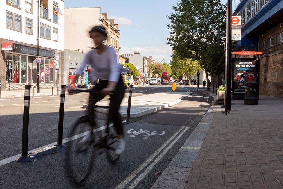
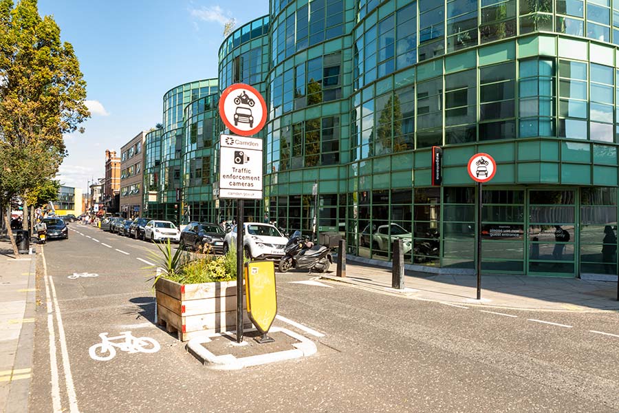
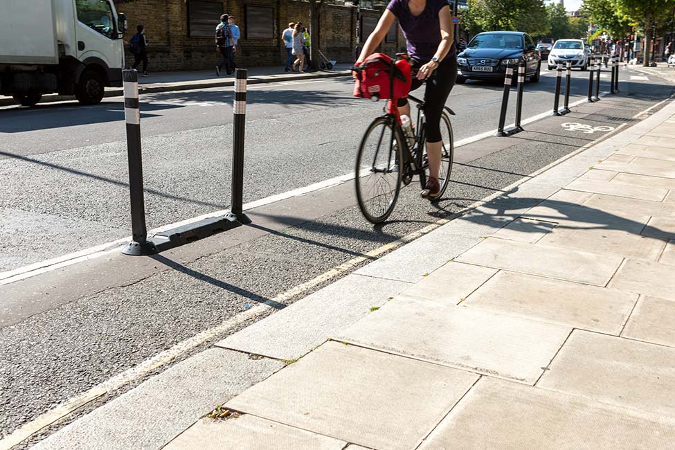
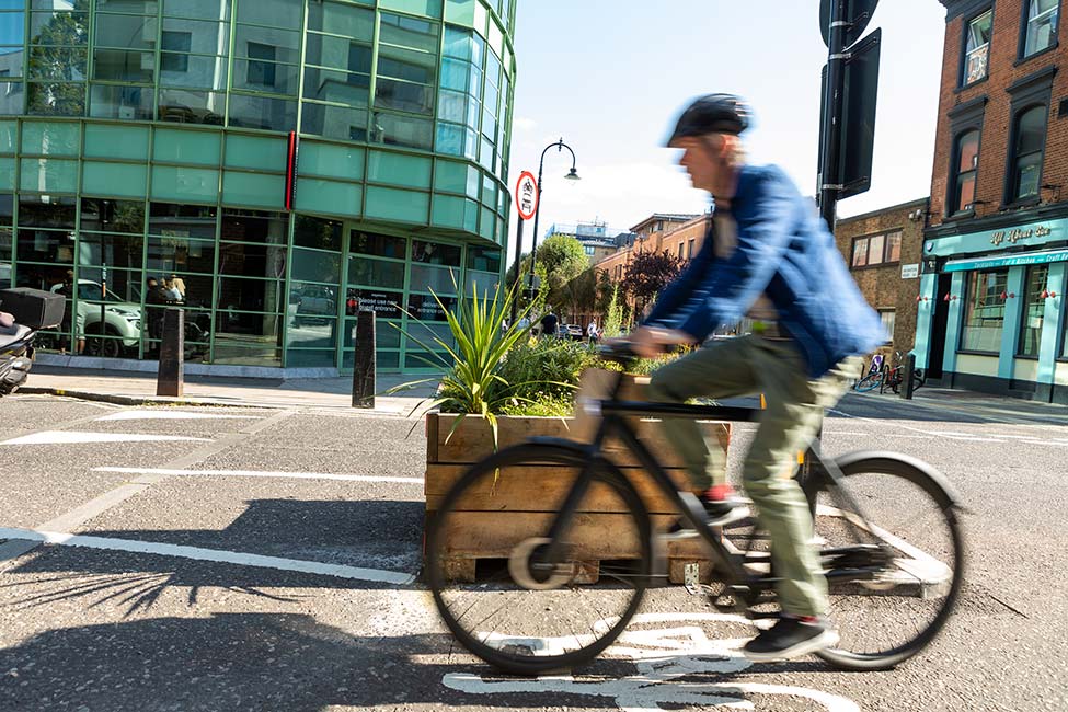
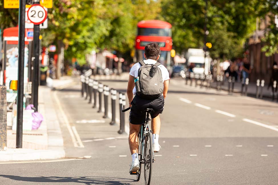
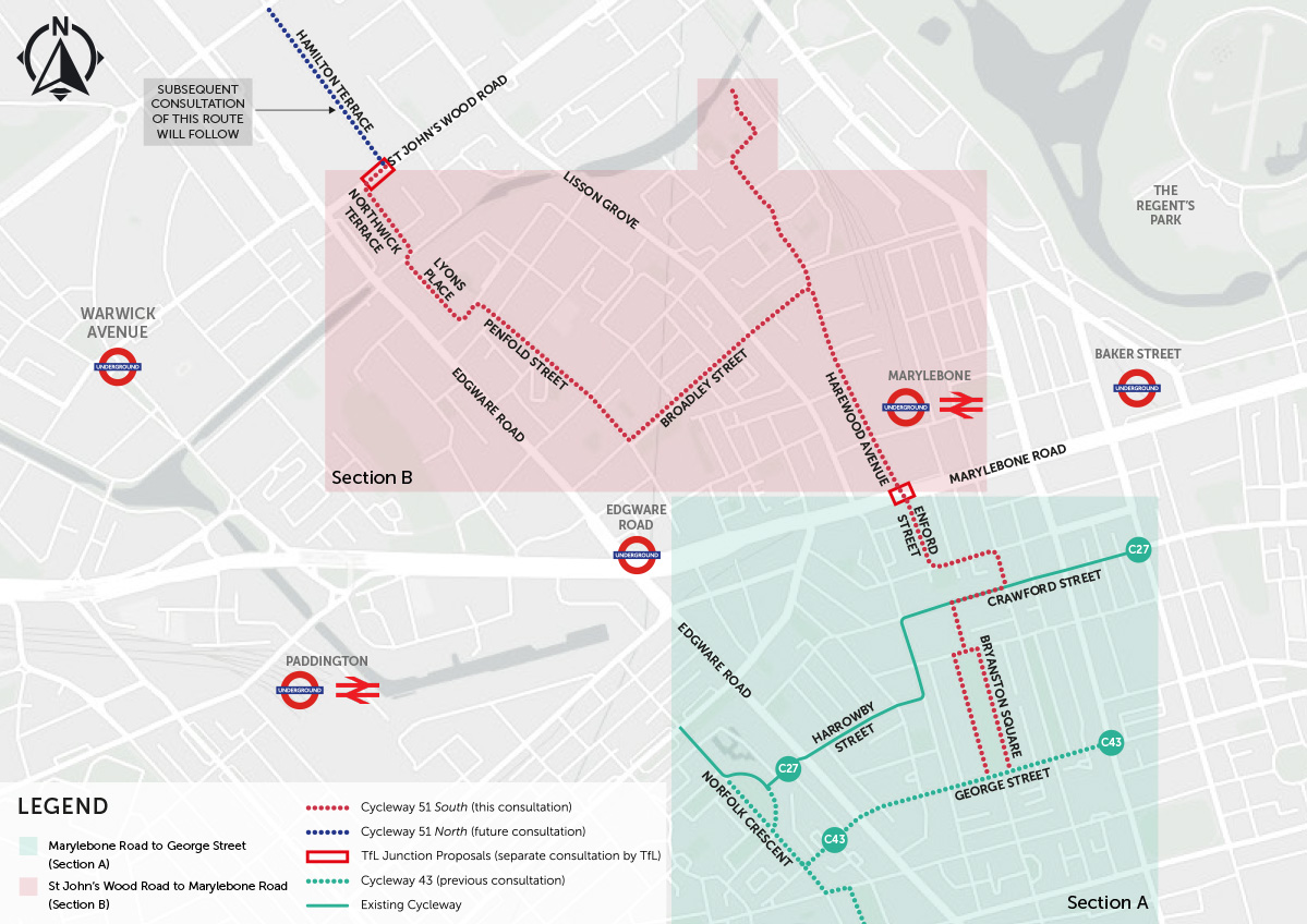
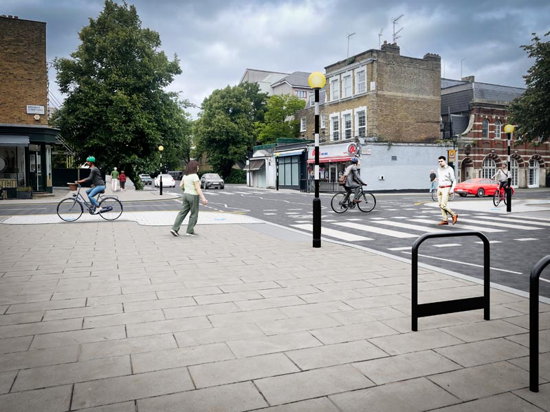
    The proposals would provide cycle facilities and pedestrian crossings improvements along the length of the route. This would facilitate a key North-South connection within the borough, connecting with existing Cycleway 27 at Crawford Street and proposed Cycleway 43 at George Street.

  • How will parking be impacted?

    There would be a loss of 90m of resident parking along Broadley Street (approximately 17 spaces) and 82m of resident parking along Harwood Avenue (approximately 15 spaces) as well as 7 pay for park spaces. Alternative parking has been proposed where possible.

  • How will loading be impacted?

    Existing loading facilities would remain, except at every junction, where “no loading” restrictions would be implemented to improve vehicle movements.

  • Will there be any road closures?

    No. There will not be any permanent road closures. However, there will be some temporary road closures due to necessary construction work. Notification by email will be sent to all of those who are impacted. Sign up here for Westminster’s Updates.

  • How many trees will be lost/gained?

    No trees will be lost. Seven new ones are proposed in Harewood Avenue.

  • How would the parking/loading be enforced?

    Upon completion of the scheme, the Council’s public liaison officer (PLO) will ensure all impacted businesses are informed about the changes. A formal letter will be sent to properties directly along the route. Details are available on our website and regular updates about Cycleway 51 will be sent. Sign up here for Westminster’s Updates.

    Following the implementation of changes, initial monitoring will be put in place to gauge any issues, and to see if any illegal parking/loading are taking place. The Council’s Parking Enforcement team will help to inform people about these changes. After a short period of time, enforcement will be as per Westminster’s normal parking enforcement policy. Details about parking in Westminster can be found here.

    Rules specific to loading and unloading can be found here.

  • What are Advanced Stop Lines (ASL)?

    Harewood Avenue junction with Marylebone includes advanced stop lines for cyclists (where people cycling can wait ahead of the traffic at traffic lights) and new raised tables (a raised section across the road to reduce vehicle speed).

  • Where do I comment on the two junctions (St John’s Wood and Marylebone junctions)?

    The consultation has now closed. Information about the proposals is available via https://haveyoursay.tfl.gov.uk/c51#2.

  • What are the directional changes to the roads along the route?

    • Northbound general traffic on Harewood Avenue between Marylebone Road and Harewood Row will be removed. Two southbound traffic lanes and a protected northbound cycle facility will be maintained. Northbound traffic will be able to use Melcombe Place or Lisson Grove
    • The direction of traffic along Harewood Row (currently one-way eastbound) will be reversed to one-way westbound to reduce vehicle conflicts at the Melcombe Place junction with north/south cycle movements. The existing Bus Route 2 will run through Melcombe Place, Harewood Row, Lisson Grove, Hayes Place and Harewood Avenue.
    • The direction of traffic along Hayes Place (currently one-way westbound) will be reversed to one-way eastbound, to accommodate the changes to Harewood Row.
    • The current two-way traffic on Orchardson Street will be changed to one-way westbound from Lyons Place junction to Penfold Street and eastbound from Penfold Street junction to Fisherton Street. This will reduce vehicle conflicts with cycles along the current narrow carriageway and cycle contraflow lane. Traffic will be able to use Frampton Street.
    • The direction of traffic along Penfold Street will change from two-way to one-way northbound from Orchardson Street junction to Frampton Street to introduce a new cycle contraflow lane. Southbound traffic will be diverted through to Frampton Street.
    • The current two-way traffic along Broadley Terrace from Lisson Grove to Harewood Avenue will change to eastbound traffic only with a cycle contraflow lane going westbound to make cycle movements safer. Westbound traffic will be able to use Rossmore Road.

  • What happens after this consultation and how does Council decision-making work?

    The roads (which we refer to as “the route”) the proposed cycleway takes were consulted on in 2016 and approved by WCC Cabinet Member in 2021. We’re consulting again on our on-street proposals which are in line with the latest national guidance and recent traffic conditions. Once this consultation ends on the 15th October 2023, we’ll analyse all the responses we have received via this website/email/letter and, based on feedback, we’ll decide what changes need to be made before presenting the updated scheme to WCC Cabinet Member for a decision on how to proceed.

    Should a decision be made to take the scheme forward, a traffic management order (TMO) consultation will take place on the updated proposals prior to delivery of the scheme.

Similar arrangements elsewhere in Westminster and around London can be seen in the following images:

Portfolio Item

Segregated cycle lanes and bus stop boarders between Castlehaven Road and Prince of Wales Road

Portfolio Item

Jamestown Road junction with Arlington Road

Portfolio Item

Segregated cycle lanes and bus stop boarders between Castlehaven Road and Prince of Wales Road

Portfolio Item

Jamestown Road junction with Arlington Road

Portfolio Item

Segregated cycle lanes and bus stop boarders between Castlehaven Road and Prince of Wales Road

Portfolio Item

Arlington Road junction with Delancey Street

Portfolio Item

Segregated cycle lanes and bus stop boarders between Castlehaven Road and Prince of Wales Road

Portfolio Item

Segregated cycle lanes and bus stop boarders between Castlehaven Road and Prince of Wales Road

Portfolio Item

Arlington Road junction with Delancey Street

Portfolio Item

Segregated cycle lanes and bus stop boarders between Castlehaven Road and Prince of Wales Road